8 Repositories
Python terrain Libraries

Approaches to modeling terrain and maps in python
topography 🌎 Contains different approaches to modeling terrain and topographic-style maps in python Features Inverse Distance Weighting (IDW) A given
Quadruped-command-tracking-controller - Quadruped command tracking controller (flat terrain)
Quadruped command tracking controller (flat terrain) Prepare Install RAISIM link

Imperial Valley Geomorphology Map
Roughly maps the extent of basins, basin edges, and mountains in the Imperial Valley by grouping terrain classes from the Iwahashi et al. 2021 California terrian classification model.
Code repository for Semantic Terrain Classification for Off-Road Autonomous Driving
BEVNet Datasets Datasets should be put inside data/. For example, data/semantic_kitti_4class_100x100. Training BEVNet-S Example: cd experiments bash t

NLMpy - A Python package to create neutral landscape models
NLMpy is a Python package for the creation of neutral landscape models that are widely used by landscape ecologists to model ecological patterns
Tool to create 3D printable terrain with integrated path/road part files (Single material 3d printer)
BACKGROUND This has been an ongoing project of mine for a few months now. I run trails a lot and original the goal was to create a function to combine

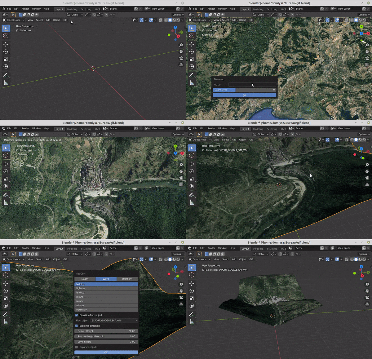
Blender addons to make the bridge between Blender and geographic data
Blender GIS Blender minimal version : 2.8 Mac users warning : currently the addon does not work on Mac with Blender 2.80 to 2.82. Please do not report
A Python package for delineating nested surface depressions from digital elevation data.
Welcome to the lidar package lidar is Python package for delineating the nested hierarchy of surface depressions in digital elevation models (DEMs). I