Filter By
182 Repositories
Python Geolocation
WIP: extracting Geometry utilities from datacube-core
odc.geo This is still work in progress. This repository contains geometry related code extracted from Open Datacube. For details and motivation see OD
 34 Jan 9, 2023
OSMnx: Python for street networks. Retrieve, model, analyze, and visualize street networks and other spatial data from OpenStreetMap.
OSMnx OSMnx is a Python package that lets you download geospatial data from OpenStreetMap and model, project, visualize, and analyze real-world street
 4k Jan 8, 2023

prettymaps - A minimal Python library to draw customized maps from OpenStreetMap data.
A small set of Python functions to draw pretty maps from OpenStreetMap data. Based on osmnx, matplotlib and shapely libraries.
 9k Jan 8, 2023
WebGL2 powered geospatial visualization layers
deck.gl | Website WebGL2-powered, highly performant large-scale data visualization deck.gl is designed to simplify high-performance, WebGL-based visua
 10.5k Jan 8, 2023
Read images to numpy arrays
mahotas-imread: Read Image Files IO with images and numpy arrays. Mahotas-imread is a simple module with a small number of functions: imread Reads an
 67 Jan 7, 2023
h3-js provides a JavaScript version of H3, a hexagon-based geospatial indexing system.
h3-js The h3-js library provides a pure-JavaScript version of the H3 Core Library, a hexagon-based geographic grid system. It can be used either in No
 648 Jan 7, 2023
Rasterio reads and writes geospatial raster datasets
Rasterio Rasterio reads and writes geospatial raster data. Geographic information systems use GeoTIFF and other formats to organize and store gridded,
 1.9k Jan 7, 2023
Python bindings and utilities for GeoJSON
geojson This Python library contains: Functions for encoding and decoding GeoJSON formatted data Classes for all GeoJSON Objects An implementation of
 765 Jan 6, 2023
Geographic add-ons for Django REST Framework. Maintained by the OpenWISP Project.
Geographic add-ons for Django REST Framework. Maintained by the OpenWISP Project.
 982 Jan 6, 2023
Pandas Network Analysis: fast accessibility metrics and shortest paths, using contraction hierarchies :world_map:
Pandana Pandana is a Python library for network analysis that uses contraction hierarchies to calculate super-fast travel accessibility metrics and sh
 321 Jan 5, 2023
Fiona reads and writes geographic data files
Fiona Fiona reads and writes geographic data files and thereby helps Python programmers integrate geographic information systems with other computer s
 987 Jan 4, 2023

Tool to display your current position and angle above your radar
🛠 Tool to display your current position and angle above your radar. As a response to the CS:GO Update on 1.2.2022, which makes cl_showpos a cheat-pro
 6 Jan 4, 2023
🌐 Local tile server for viewing geospatial raster files with ipyleaflet
🌐 Local Tile Server for Geospatial Rasters Need to visualize a rather large raster (gigabytes) you have locally? This is for you. A Flask application
 192 Jan 4, 2023
🌐 Local tile server for viewing geospatial raster files with ipyleaflet or folium
🌐 Local Tile Server for Geospatial Rasters Need to visualize a rather large (gigabytes) raster you have locally? This is for you. A Flask application
192 Jan 4, 2023
Geodata extensions for Django REST Framework
Django-Spillway Django and Django REST Framework integration of raster and feature based geodata. Spillway builds on the immensely marvelous Django RE
 62 Jan 4, 2023
Geographic add-ons for Django REST Framework. Maintained by the OpenWISP Project.
django-rest-framework-gis Geographic add-ons for Django Rest Framework - Mailing List. Install last stable version from pypi pip install djangorestfra
981 Jan 3, 2023
Manipulation and analysis of geometric objects
Shapely Manipulation and analysis of geometric objects in the Cartesian plane. Shapely is a BSD-licensed Python package for manipulation and analysis
3.1k Jan 3, 2023
A Python package for delineating nested surface depressions from digital elevation data.
Welcome to the lidar package lidar is Python package for delineating the nested hierarchy of surface depressions in digital elevation models (DEMs). I
 166 Jan 3, 2023

Python tools for geographic data
GeoPandas Python tools for geographic data Introduction GeoPandas is a project to add support for geographic data to pandas objects. It currently impl
 3.5k Jan 3, 2023

Python library to decrypt Airtag reports, as well as a InfluxDB/Grafana self-hosted dashboard example
Openhaystack-python This python daemon will allow you to gather your Openhaystack-based airtag reports and display them on a Grafana dashboard. You ca
 19 Jan 3, 2023
A Django application that provides country choices for use with forms, flag icons static files, and a country field for models.
Django Countries A Django application that provides country choices for use with forms, flag icons static files, and a country field for models. Insta
 1.2k Jan 3, 2023
Software for Advanced Spatial Econometrics
GeoDaSpace Software for Advanced Spatial Econometrics GeoDaSpace current version 1.0 (32-bit) Development environment: Mac OSX 10.5.x (32-bit) wxPytho
 38 Jan 3, 2023

A ready-to-use curated list of Spectral Indices for Remote Sensing applications.
A ready-to-use curated list of Spectral Indices for Remote Sensing applications. GitHub: https://github.com/davemlz/awesome-ee-spectral-indices Docume
 488 Jan 3, 2023
Satellite imagery for dummies.
felicette Satellite imagery for dummies. What can you do with this tool? TL;DR: Generate JPEG earth imagery from coordinates/location name with public
 1.8k Jan 3, 2023

:earth_asia: Python Geocoder
Python Geocoder Simple and consistent geocoding library written in Python. Table of content Overview A glimpse at the API Forward Multiple results Rev
 1.5k Jan 2, 2023
leafmap - A Python package for geospatial analysis and interactive mapping in a Jupyter environment.
A Python package for geospatial analysis and interactive mapping with minimal coding in a Jupyter environment
1.4k Jan 2, 2023
Simple, concise geographical visualization in Python
Geographic visualizations for HoloViews. Build Status Coverage Latest dev release Latest release Docs What is it? GeoViews is a Python library that ma
 445 Jan 2, 2023
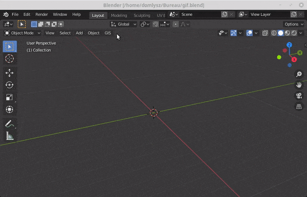
Blender addons to make the bridge between Blender and geographic data
Blender GIS Blender minimal version : 2.8 Mac users warning : currently the addon does not work on Mac with Blender 2.80 to 2.82. Please do not report
 5.9k Jan 2, 2023
Constraint-based geometry sketcher for blender
Geometry Sketcher Constraint-based sketcher addon for Blender that allows to create precise 2d shapes by defining a set of geometric constraints like
 1.7k Jan 2, 2023
Python Data. Leaflet.js Maps.
folium Python Data, Leaflet.js Maps folium builds on the data wrangling strengths of the Python ecosystem and the mapping strengths of the Leaflet.js
 6k Jan 2, 2023

Raster-based Spatial Analysis for Python
🌍 xarray-spatial: Raster-Based Spatial Analysis in Python 📍 Fast, Accurate Python library for Raster Operations ⚡ Extensible with Numba ⏩ Scalable w
 649 Jan 1, 2023

A python package that extends Google Earth Engine.
A python package that extends Google Earth Engine GitHub: https://github.com/davemlz/eemont Documentation: https://eemont.readthedocs.io/ PyPI: https:
307 Jan 1, 2023
Implementation of Trajectory classes and functions built on top of GeoPandas
MovingPandas MovingPandas implements a Trajectory class and corresponding methods based on GeoPandas. Visit movingpandas.org for details! You can run
 897 Jan 1, 2023

Solving the Traveling Salesman Problem using Self-Organizing Maps
Solving the Traveling Salesman Problem using Self-Organizing Maps This repository contains an implementation of a Self Organizing Map that can be used
 3.1k Dec 31, 2022

Python interface to PROJ (cartographic projections and coordinate transformations library)
pyproj Python interface to PROJ (cartographic projections and coordinate transformations library). Documentation Stable: http://pyproj4.github.io/pypr
 832 Dec 31, 2022
Python interface to PROJ (cartographic projections and coordinate transformations library)
pyproj Python interface to PROJ (cartographic projections and coordinate transformations library). Documentation Stable: http://pyproj4.github.io/pypr
832 Dec 31, 2022
Cloud Optimized GeoTIFF creation and validation plugin for rasterio
rio-cogeo Cloud Optimized GeoTIFF (COG) creation and validation plugin for Rasterio. Documentation: https://cogeotiff.github.io/rio-cogeo/ Source Code
 216 Dec 31, 2022

A library to access OpenStreetMap related services
OSMPythonTools The python package OSMPythonTools provides easy access to OpenStreetMap (OSM) related services, among them an Overpass endpoint, Nomina
 342 Dec 31, 2022
ArcGIS Python Toolbox for WhiteboxTools
WhiteboxTools-ArcGIS ArcGIS Python Toolbox for WhiteboxTools. This repository is related to the ArcGIS Python Toolbox for WhiteboxTools, which is an A
190 Dec 30, 2022
Documentation and samples for ArcGIS API for Python
ArcGIS API for Python ArcGIS API for Python is a Python library for working with maps and geospatial data, powered by web GIS. It provides simple and
 1.4k Dec 30, 2022
Platform for building statistical models of cities and regions
UrbanSim UrbanSim is a platform for building statistical models of cities and regions. These models help forecast long-range patterns in real estate d
419 Dec 30, 2022
Client library for interfacing with USGS datasets
USGS API USGS is a python module for interfacing with the US Geological Survey's API. It provides submodules to interact with various endpoints, and c
 104 Dec 30, 2022

Automated download of LANDSAT data from USGS website
LANDSAT-Download It seems USGS has changed the structure of its data, and so far, I have not been able to find the direct links to the products? Help
 197 Dec 30, 2022
geemap - A Python package for interactive mapping with Google Earth Engine, ipyleaflet, and ipywidgets.
A Python package for interactive mapping with Google Earth Engine, ipyleaflet, and folium
2.4k Dec 30, 2022
Geocoding library for Python.
geopy geopy is a Python client for several popular geocoding web services. geopy makes it easy for Python developers to locate the coordinates of addr
 3.8k Dec 30, 2022

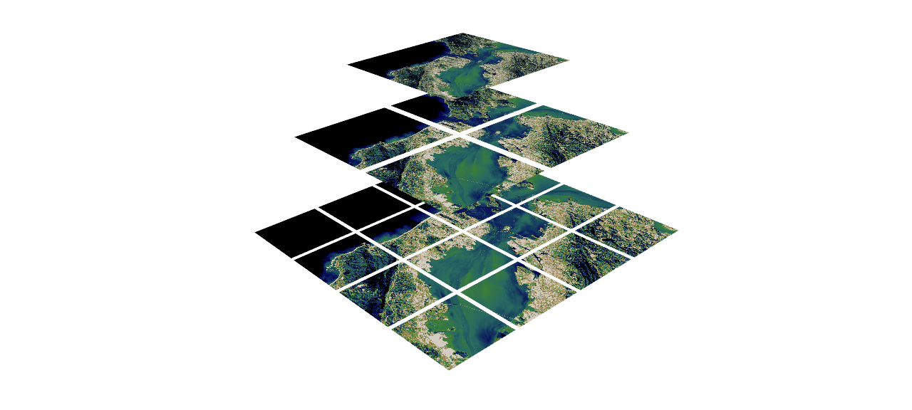
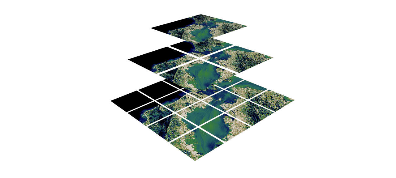
Water Detect Algorithm
WaterDetect Synopsis WaterDetect is an end-to-end algorithm to generate open water cover mask, specially conceived for L2A Sentinel 2 imagery from MAJ
 142 Dec 30, 2022
EOReader is a multi-satellite reader allowing you to open optical and SAR data.
Remote-sensing opensource python library reading optical and SAR sensors, loading and stacking bands, clouds, DEM and index.
 152 Dec 30, 2022
This GUI app was created to show the detailed information about the weather in any city selected by user
WeatherApp Content Brief description Tools Features Hotkeys How it works Screenshots Ways to improve the project Installation Brief description This G
 5 Dec 30, 2022
Asynchronous Client for the worlds fastest in-memory geo-database Tile38
This is an asynchonous Python client for Tile38 that allows for fast and easy interaction with the worlds fastest in-memory geodatabase Tile38.
 53 Dec 29, 2022

Bacon - Band-limited Coordinate Networks for Multiscale Scene Representation
BACON: Band-limited Coordinate Networks for Multiscale Scene Representation Proj
 144 Dec 29, 2022
scalable analysis of images and time series
thunder scalable analysis of image and time series analysis in python Thunder is an ecosystem of tools for the analysis of image and time series data
 813 Dec 29, 2022
peartree: A library for converting transit data into a directed graph for sketch network analysis.
peartree 🍐 🌳 peartree is a library for converting GTFS feed schedules into a representative directed network graph. The tool uses Partridge to conve
 183 Dec 29, 2022

Location field and widget for Django. It supports Google Maps, OpenStreetMap and Mapbox
django-location-field Let users pick locations using a map widget and store its latitude and longitude. Stable version: django-location-field==2.1.0 D
 481 Dec 29, 2022
pure-Python (Numpy optional) 3D coordinate conversions for geospace ecef enu eci
Python 3-D coordinate conversions Pure Python (no prerequistes beyond Python itself) 3-D geographic coordinate conversions and geodesy. API similar to
 292 Dec 29, 2022