6 Repositories
Python DEM Libraries
QGIS plugin to dwonload DEMs from OpenTopography.org
OpenTopography-DEM-Downloader-qgis-plugin QGIS plugin to dwonload DEMs from OpenTopography.org This plug-in allows you to download DEMs from OpenTopgr
Ein PY-Skript, mit dem tiled-Editor-Maps bearbeitet werden
tilesetCopyrighter Ein PY-Skript, mit dem tiled-Editor-Maps bearbeitet werden können fügt je Tileset eine custom-Property tilesetCopyright (string) hi
Study German declensions (dER nettE Mann, ein nettER Mann, mit dEM nettEN Mann, ohne dEN nettEN Mann ...) Generate as many exercises as you want using the incredible power of SPACY!
Study German declensions (dER nettE Mann, ein nettER Mann, mit dEM nettEN Mann, ohne dEN nettEN Mann ...) Generate as many exercises as you want using the incredible power of SPACY!
Improving the Transferability of Adversarial Examples with Resized-Diverse-Inputs, Diversity-Ensemble and Region Fitting
Improving the Transferability of Adversarial Examples with Resized-Diverse-Inputs, Diversity-Ensemble and Region Fitting

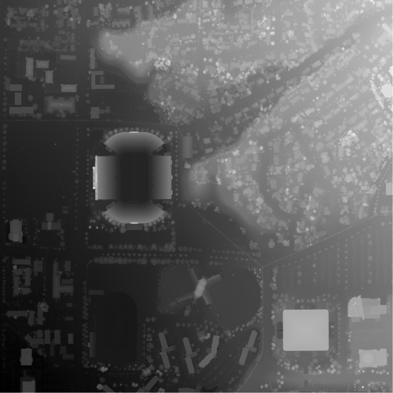
A tool for automatically generating 3D printable STLs from freely available lidar scan data.
mini-map-maker A tool for automatically generating 3D printable STLs from freely available lidar scan data. Screenshots Tutorial To use this script, g

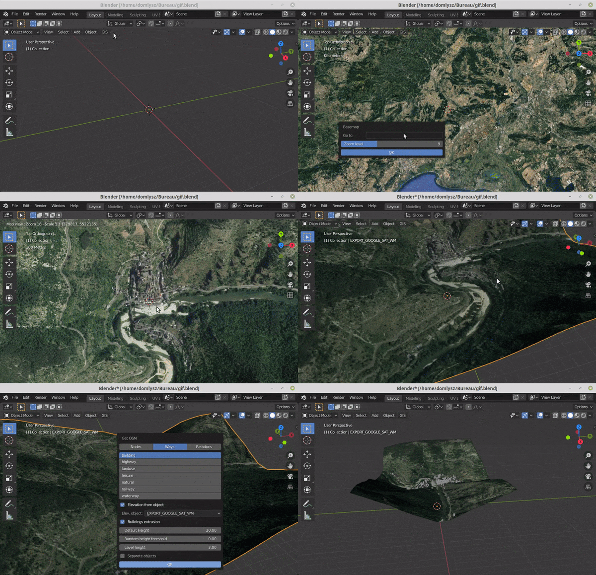
Blender addons to make the bridge between Blender and geographic data
Blender GIS Blender minimal version : 2.8 Mac users warning : currently the addon does not work on Mac with Blender 2.80 to 2.82. Please do not report