4 Repositories
Python geodata Libraries

A part of HyRiver software stack for handling geospatial data manipulations
Package Description Status PyNHD Navigate and subset NHDPlus (MR and HR) using web services Py3DEP Access topographic data through National Map's 3DEP
Create SVG drawings from vector geodata files (SHP, geojson, etc).
SVGIS Create SVG drawings from vector geodata files (SHP, geojson, etc). SVGIS is great for: creating small multiples, combining lots of datasets in a
Geodata extensions for Django REST Framework
Django-Spillway Django and Django REST Framework integration of raster and feature based geodata. Spillway builds on the immensely marvelous Django RE

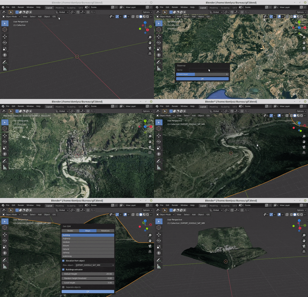
Blender addons to make the bridge between Blender and geographic data
Blender GIS Blender minimal version : 2.8 Mac users warning : currently the addon does not work on Mac with Blender 2.80 to 2.82. Please do not report