A public data repository for datasets created from TransLink GTFS data.

Overview

TransLink Spatial Data

What:
TransLink is the statutory public transit authority for the Metro Vancouver region. This GitHub repository is a collection of free, public, and ready-for-analysis TransLink datasets that I have created.

Why:
While individual municipalities within Metro Vancouver have public transit related datasets in their open data portals, there is no comprehensive data publicly available that covers the entire region and is up to date. TransLink provides General Transit Feed Specification (GTFS) data on a regular basis but the data format is not very user-friendly, especially for GIS analysis where data formats like .shp and .geojson are preferred. As a result, I created this data repository to provide updated regional TransLink datasets for use in mapping, analysis, data visualization, and more.

How:
I converted the TransLink-provided GTFS data to feature classes and shapefiles using the Public Transit Tools toolbox in ArcGIS Pro. In addition, table join and dissolve operations were performed to preserve data integrity and enhance ease of use. I will provide the Python script tools below for download.


Datasets are currently based on GTFS data released on Dec.13, 2021

Available Datasets:

(scroll down for download instructions)

In Progress:

  • Transit Stations (all)
  • Bus Exchanges
  • SkyTrain Stations
  • Bus Stations
  • Transit Frequency
  • Datasets in geojson format

Script Tools:

Other:


How to Download Datasets

  • If you want the whole repository:
    Scroll to the top of this page, click the green button that says 'Code', and then click 'Download ZIP'.

  • If you want a specific dataset:
    Scroll up to the available datasets, click on your desired dataset, choose a data format, and copy the URL in your web browser. Open downgit.github.io or download-directory.github.io and paste the URL.

You might also like...
Open Data Cube analyses continental scale Earth Observation data through time

Open Data Cube Core Overview The Open Data Cube Core provides an integrated gridded data analysis environment for decades of analysis ready earth obse

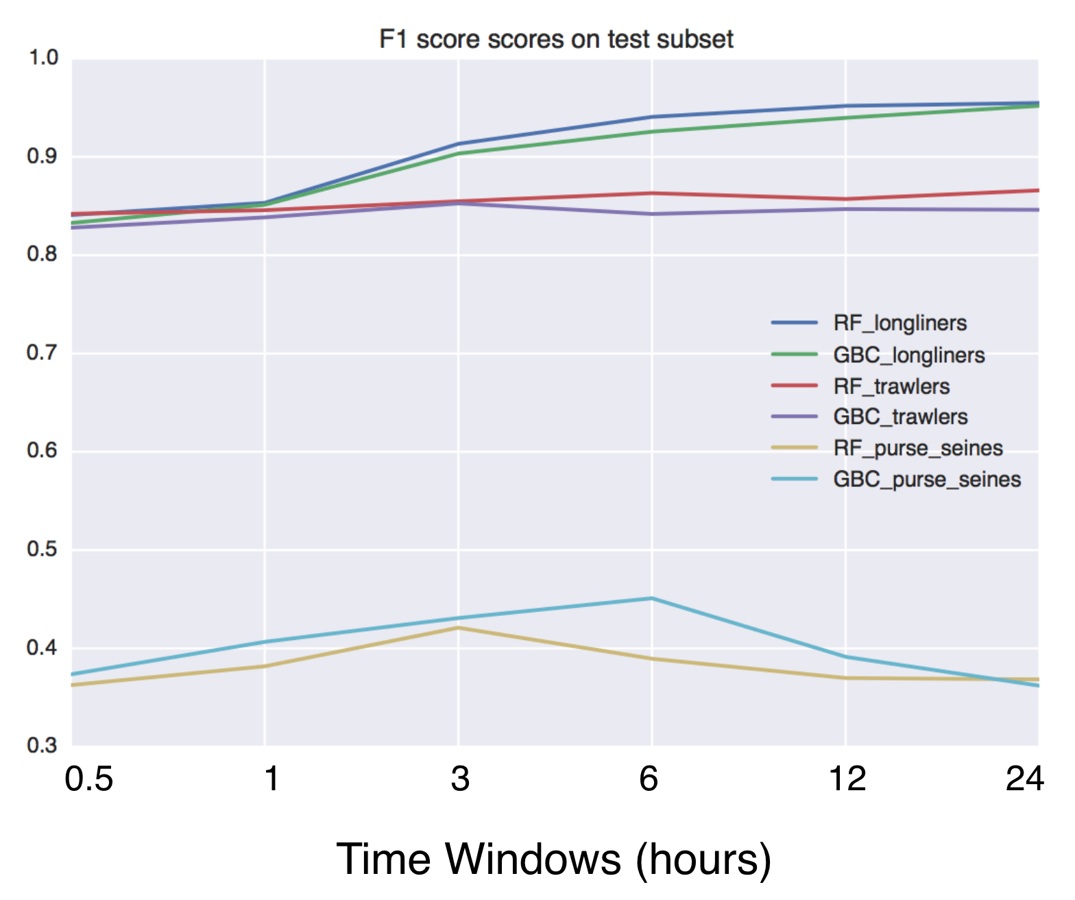
Using Global fishing watch's data to build a machine learning model that can identify illegal fishing and poaching activities through satellite and geo-location data.

Using Global fishing watch's data to build a machine learning model that can identify illegal fishing and poaching activities through satellite and geo-location data.

Python Data. Leaflet.js Maps.

folium Python Data, Leaflet.js Maps folium builds on the data wrangling strengths of the Python ecosystem and the mapping strengths of the Leaflet.js

Python tools for geographic data

GeoPandas Python tools for geographic data Introduction GeoPandas is a project to add support for geographic data to pandas objects. It currently impl

Fiona reads and writes geographic data files

Fiona Fiona reads and writes geographic data files and thereby helps Python programmers integrate geographic information systems with other computer s

A package built to support working with spatial data using open source python

EarthPy EarthPy makes it easier to plot and manipulate spatial data in Python. Why EarthPy? Python is a generic programming language designed to suppo

Python package for earth-observing satellite data processing

Satpy The Satpy package is a python library for reading and manipulating meteorological remote sensing data and writing it to various image and data f

Use Mapbox GL JS to visualize data in a Python Jupyter notebook

Location Data Visualization library for Jupyter Notebooks Library documentation at https://mapbox-mapboxgl-jupyter.readthedocs-hosted.com/en/latest/.

python toolbox for visualizing geographical data and making maps

geoplotlib is a python toolbox for visualizing geographical data and making maps data = read_csv('data/bus.csv') geoplotlib.dot(data) geoplotlib.show(

Owner
Henry Tang
Henry Tang
Helping data scientists better understand their datasets and models in text classification. With love from ServiceNow.

Azimuth, an open-source dataset and error analysis tool for text classification, with love from ServiceNow. Overview Azimuth is an open source applica

ServiceNow 145 Dec 23, 2022
This GUI app was created to show the detailed information about the weather in any city selected by user

WeatherApp Content Brief description Tools Features Hotkeys How it works Screenshots Ways to improve the project Installation Brief description This G

TheBugYouCantFix 5 Dec 30, 2022
Rasterio reads and writes geospatial raster datasets

Rasterio Rasterio reads and writes geospatial raster data. Geographic information systems use GeoTIFF and other formats to organize and store gridded,

Mapbox 1.9k Jan 7, 2023
Summary statistics of geospatial raster datasets based on vector geometries.

rasterstats rasterstats is a Python module for summarizing geospatial raster datasets based on vector geometries. It includes functions for zonal stat

Matthew Perry 437 Dec 23, 2022
Client library for interfacing with USGS datasets

USGS API USGS is a python module for interfacing with the US Geological Survey's API. It provides submodules to interact with various endpoints, and c

Amit Kapadia 104 Dec 30, 2022
User friendly Rasterio plugin to read raster datasets.

rio-tiler User friendly Rasterio plugin to read raster datasets. Documentation: https://cogeotiff.github.io/rio-tiler/ Source Code: https://github.com

null 372 Dec 23, 2022
A NASA MEaSUREs project to provide automated, low latency, global glacier flow and elevation change datasets

Notebooks A NASA MEaSUREs project to provide automated, low latency, global glacier flow and elevation change datasets This repository provides tools

NASA Jet Propulsion Laboratory 27 Oct 25, 2022
List of Land Cover datasets in the GEE Catalog

List of Land Cover datasets in the GEE Catalog A list of all the Land Cover (or discrete) datasets in Google Earth Engine. Values, Colors and Descript

David Montero Loaiza 5 Aug 24, 2022
Digital Earth Australia notebooks and tools repository

Repository for Digital Earth Australia Jupyter Notebooks: tools and workflows for geospatial analysis with Open Data Cube and xarray

Geoscience Australia 335 Dec 24, 2022
This repository contains the scripts to derivate the ENU and ECEF coordinates from the longitude, latitude, and altitude values encoded in the NAD83 coordinates.

This repository contains the scripts to derivate the ENU and ECEF coordinates from the longitude, latitude, and altitude values encoded in the NAD83 coordinates.

Luigi Cruz 1 Feb 7, 2022