Earth-to-orbit ballistic trajectories with atmospheric resistance

Overview

Earth-to-orbit ballistic trajectories with atmospheric resistance

Overview

Space guns are a theoretical technology that reduces the cost of getting bulk materials into space using giant cannons to replace the first stage of a rocket.

This script performs a simple simulation of an unpowered ballistic projectile within the Earths atmosphere. The simulation uses the Velocity Verlet method to simulate the projectiles motion and applies it with a simple atmosphere model made available by NASA.

Running the simulation

The repository contains several scripts that function in different ways to collect and display information:

  • projectile_main.py: Contains the core simulation functions that are called by other scripts.
  • projectile_single.py: Runs the simulation once with the parameters that are imbedded in the code. The code will need to be edited directly in order to change the simulation parameters at the moment.
  • projectile_maxHeight: Iterates a parameter (such as launch velocity, launch angle, initial height, etc.) through a range of values to display how changing that parameter affects the maximum height the projectile reaches.
  • projectile_dataGather: Provides the results from a series of simulation runs at once to observe how changing a parameter affects the trajectory.
  • projectile_minEnergy: Iterates through a range of launch angles and increments the launch velocity until a target stable orbit (TSO) is reached. More data is then calculated to determine how the launch angle affects how much mass can be delivered to orbit in a single launch.

Developed for Unusual systems and in collaboration with Lancaster laboratories.

You might also like...
An atmospheric growth and evolution model based on the EVo degassing model and FastChem 2.0

EVolve Linking planetary mantles to atmospheric chemistry through volcanism using EVo and FastChem. Overview EVolve is a linked mantle degassing and a

metedraw is a project mainly for data visualization projects of Atmospheric Science, Marine Science, Environmental Science or other majors

It is mainly for data visualization projects of Atmospheric Science, Marine Science, Environmental Science or other majors.

QLUSTER is a relative orbit design tool for formation flying satellite missions and space rendezvous scenarios

QLUSTER is a relative orbit design tool for formation flying satellite missions and space rendezvous scenarios, that I wrote in Python 3 for my own research and visualisation. It is currently unfinished (95%) but the core algorithm and app works. Here's an example snippet of the GUI where four deputy satellites are orbiting a single chief in LEO.

Python tools for working with Orbit Ephemeris Messages (OEMs).

Python Orbit Ephemeris Message tools Python tools for working with Orbit Ephemeris Messages (OEMs). Development Status Installation The oem package is

Script that allows to download data with satellite's orbit height and create CSV with their change in time.

Satellite orbit height ◾ Requirements Python = 3.8 Packages listen in reuirements.txt (run pip install -r requirements.txt) Account on Space Track ◾

We utilize deep reinforcement learning to obtain favorable trajectories for visual-inertial system calibration.

Unified Data Collection for Visual-Inertial Calibration via Deep Reinforcement Learning Update: The lastest code will be updated in this branch. Pleas

OpenDrift is a software for modeling the trajectories and fate of objects or substances drifting in the ocean, or even in the atmosphere.

opendrift OpenDrift is a software for modeling the trajectories and fate of objects or substances drifting in the ocean, or even in the atmosphere. Do

A super lightweight Lagrangian model for calculating millions of trajectories using ERA5 data

Easy-ERA5-Trck Easy-ERA5-Trck Galleries Install Usage Repository Structure Module Files Version iteration Easy-ERA5-Trck is a super lightweight Lagran

PyMove is a Python library to simplify queries and visualization of trajectories and other spatial-temporal data

Use PyMove and go much further Information Package Status License Python Version Platforms Build Status PyPi version PyPi Downloads Conda version Cond

Official code for our CVPR '22 paper
Official code for our CVPR '22 paper "Dataset Distillation by Matching Training Trajectories"

Dataset Distillation by Matching Training Trajectories Project Page | Paper This repo contains code for training expert trajectories and distilling sy

How on earth can I ever think of a solution like that in an interview?!

fuck-coding-interviews This repository is created by an awkward programmer who always struggles with coding problems on LeetCode, even with some Easy

Python package for earth-observing satellite data processing

Satpy The Satpy package is a python library for reading and manipulating meteorological remote sensing data and writing it to various image and data f

 geemap - A Python package for interactive mapping with Google Earth Engine, ipyleaflet, and ipywidgets.
geemap - A Python package for interactive mapping with Google Earth Engine, ipyleaflet, and ipywidgets.

A Python package for interactive mapping with Google Earth Engine, ipyleaflet, and folium

Simple CLI for Google Earth Engine Uploads

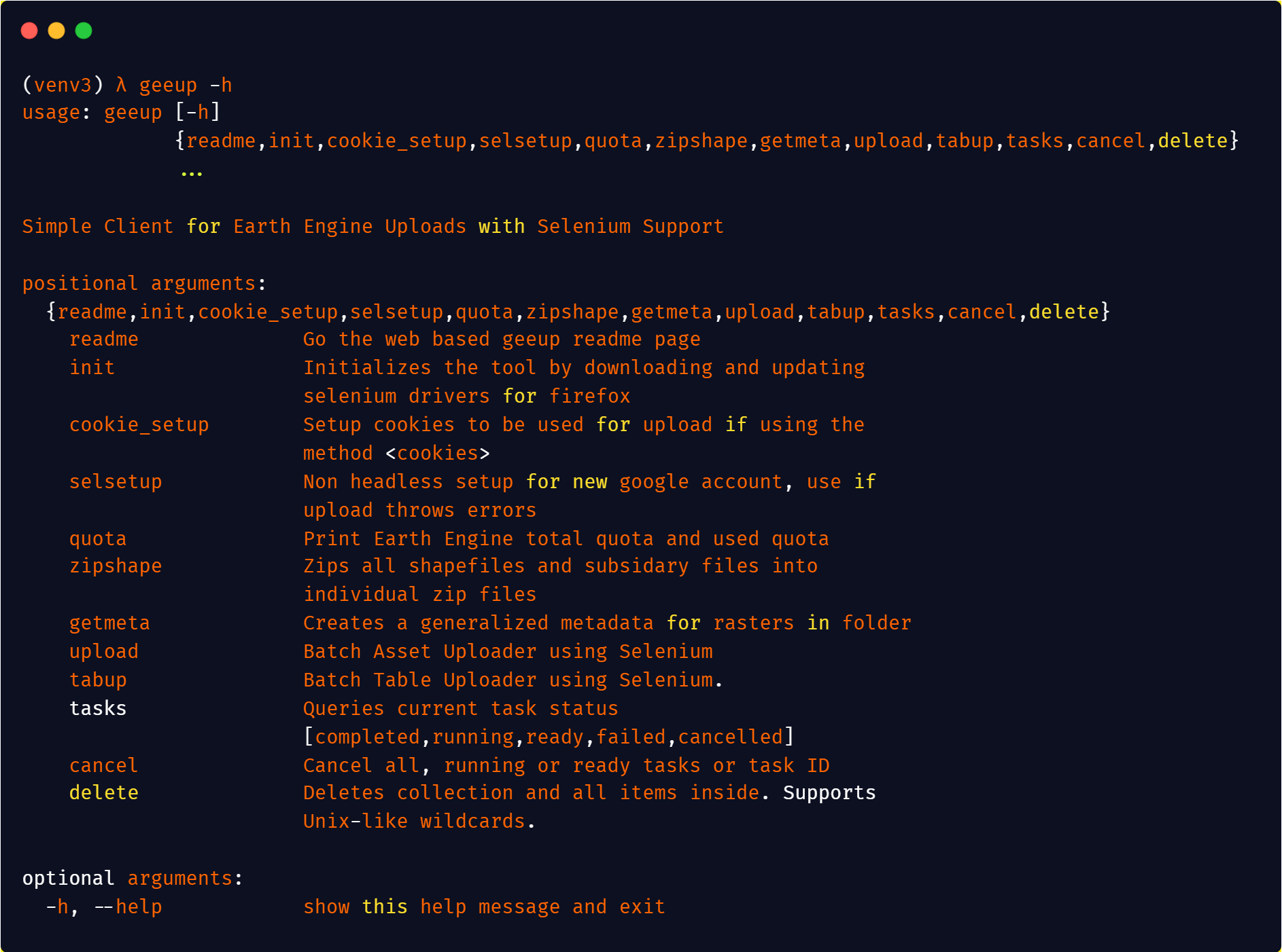
geeup: Simple CLI for Earth Engine Uploads with Selenium Support This tool came of the simple need to handle batch uploads of both image assets to col

A toolbox for processing earth observation data with Python.

eo-box eobox is a Python package with a small collection of tools for working with Remote Sensing / Earth Observation data. Package Overview So far, t

Get Landsat surface reflectance time-series from google earth engine

geextract Google Earth Engine data extraction tool. Quickly obtain Landsat multispectral time-series for exploratory analysis and algorithm testing On

Visualize classified time series data with interactive Sankey plots in Google Earth Engine

sankee Visualize changes in classified time series data with interactive Sankey plots in Google Earth Engine Contents Description Installation Using P

Flood Detection with Google Earth Engine

ee-fastapi: Flood Detection System A ee-fastapi is a simple FastAPI web application for performing flood detection using Google Earth Engine in the ba

A Python interface between Earth Engine and xarray

eexarray A Python interface between Earth Engine and xarray Description eexarray was built to make processing gridded, mesoscale time series data quic

Owner
null
Ballistic calculator for Airsoft

Ballistic-calculator-for-Airsoft 用于Airsoft的弹道计算器 This is a ballistic calculator for airsoft gun. To calculate your airsoft gun's ballistic, you should

null 3 Jan 20, 2022
Python tools for working with Orbit Ephemeris Messages (OEMs).

Python Orbit Ephemeris Message tools Python tools for working with Orbit Ephemeris Messages (OEMs). Development Status Installation The oem package is

Brad Sease 4 Apr 6, 2022
Doom o’clock is a website/project that features a countdown of “when will the earth end” and a greenhouse gas effect emission prediction that’s predicted

Doom o’clock is a website/project that features a countdown of “when will the earth end” and a greenhouse gas effect emission prediction that’s predicted

shironeko(Hazel) 4 Jan 1, 2022
Shared utility scripts for AI for Earth projects and team members

Overview Shared utilities developed by the Microsoft AI for Earth team The general convention in this repo is that users who want to consume these uti

Microsoft 38 Dec 30, 2022
GEGVL: Google Earth Based Geoscience Video Library

Google Earth Based Geoscience Video Library is transforming to Server Based. The

null 3 Feb 11, 2022
Earth centric orbit propagation tool. Built from scratch in python.

Orbit-Propogator Earth centric orbit propagation tool. Built from scratch in python. Functionality includes: tracking sattelite location over time plo

Adam Klein 1 Mar 13, 2022
The NEOSSat is a dual-mission microsatellite designed to detect potentially hazardous Earth-orbit-crossing asteroids and track objects that reside in deep space

The NEOSSat is a dual-mission microsatellite designed to detect potentially hazardous Earth-orbit-crossing asteroids and track objects that reside in deep space

John Salib 2 Jan 30, 2022
Fully Automated YouTube Channel ▶️with Added Extra Features.

Fully Automated Youtube Channel ▒█▀▀█ █▀▀█ ▀▀█▀▀ ▀▀█▀▀ █░░█ █▀▀▄ █▀▀ █▀▀█ ▒█▀▀▄ █░░█ ░░█░░ ░▒█░░ █░░█ █▀▀▄ █▀▀ █▄▄▀ ▒█▄▄█ ▀▀▀▀ ░░▀░░ ░▒█░░ ░▀▀▀ ▀▀▀░

sam-sepiol 249 Jan 2, 2023
Ballistic calculator for Airsoft

Ballistic-calculator-for-Airsoft 用于Airsoft的弹道计算器 This is a ballistic calculator for airsoft gun. To calculate your airsoft gun's ballistic, you should

null 3 Jan 20, 2022
Universal data analysis tools for atmospheric sciences

U_analysis Universal data analysis tools for atmospheric sciences Script written in python 3. This file defines multiple functions that can be used fo

Luis Ackermann 1 Oct 10, 2021