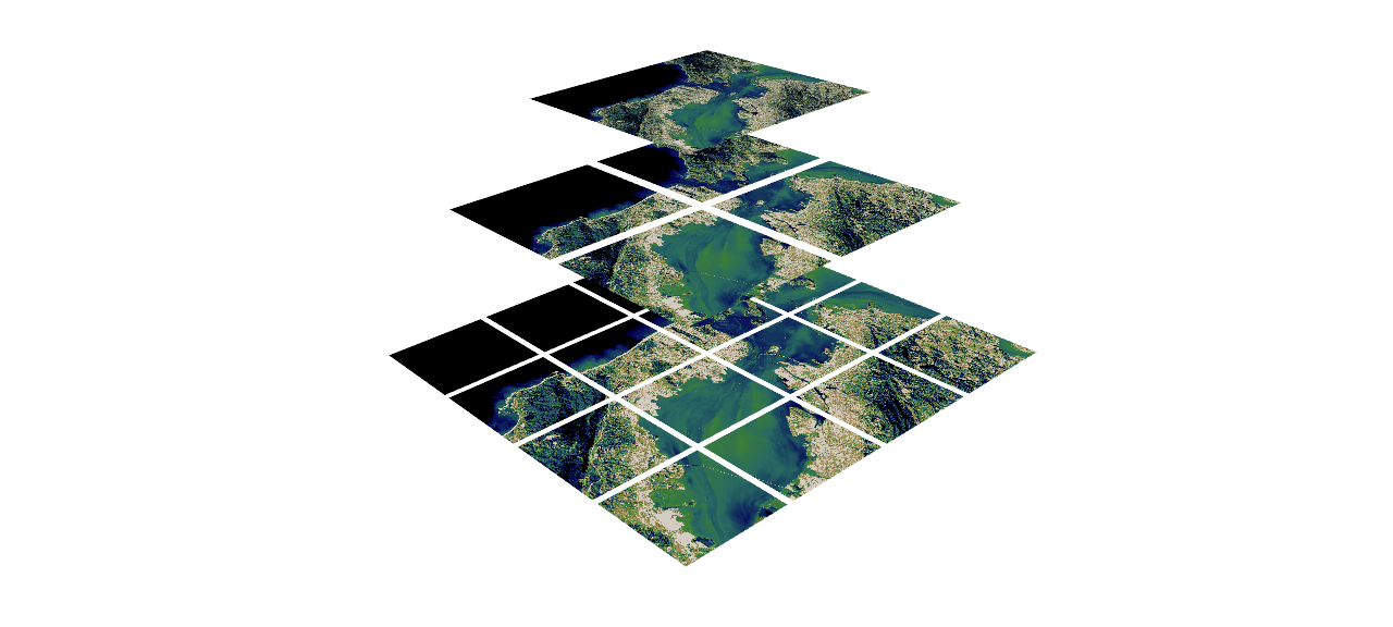
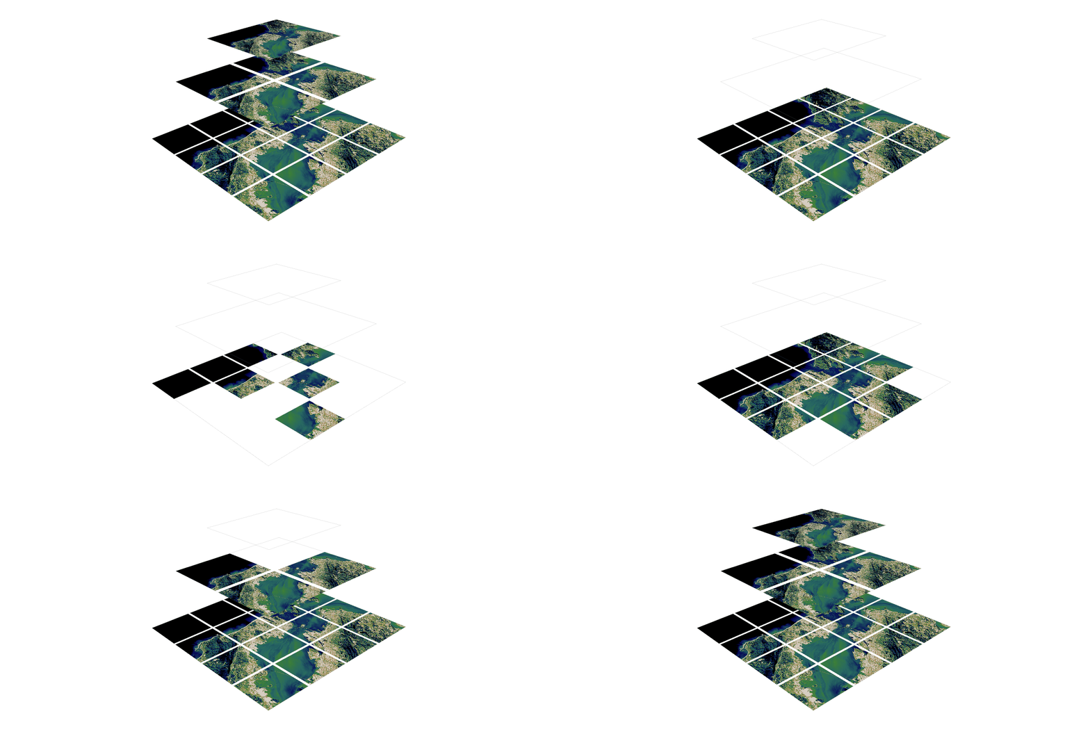
Map Ookla server locations as a Kernel Density Estimation (KDE) geographic map plot.

Overview

Ookla Server KDE Plotting

This notebook was created to map Ookla server locations as a Kernel Density Estimation (KDE) geographic map plot. Currently, it maps server locations in the contiguous United States and World Map at varying levels of granularity.

Running Notebook

The notebook using Geopandas and Geoplot. This means that you will need to set up a virtual environment. Personally, I used this Medium article by Tanish Gupta to set up my environment.

To run the notebook:

  1. Activate conda virtual env that has Geopandas by running the following command in Anaconda Prompt
conda activate yourenv
  1. Launch notebook menu using:
jupyter notebook
  1. Navigate to notebook and run

Details

One of things you'll notice when you look at this repository is the folders world and world_transparent that contain KDE geoplots of only continents. This is caused by the inability to control the granularity when plotting a KDE geoplot using Geoplot. To remedy this, I...

  1. Plotted points continent by continent and saved the figs to .png files.
  2. Drew transparencies everywhere on the image except for the mapped area and country borders.
  3. Overlay the images and create a legend/scale using Figma.

An issue I faced when doing this was the scale. When I plotted continent by continent, each continent would have the same max level of density (regardless of actual density relative to each other).

Notice how Africa has the same density as Europe and other continents

To fix this, I created individual color scales based on the number of servers on each continent relative to the continent that has the most servers (South America). This allowed the scale to be accurate.

Africa is considerably less intense compared to before

Potential Improvements

  1. The world map could have a higher level of granularity. However, this would mean plotting a KDE geoplot for every single country and following the process listed above.
  2. Due to convenience of the packages, I filtered out some countries (Kosovo (XK), East Timor (TL), etc.) . It would be possible to hard code these situations.
You might also like...
This program analizes films database with adresses, and creates a folium map with closest films to the coordinates

Films-map-project UCU CS lab 1.2, 1st year This program analizes films database with adresses, and creates a folium map with closest films to the coor

Simulation and Parameter Estimation in Geophysics

Simulation and Parameter Estimation in Geophysics - A python package for simulation and gradient based parameter estimation in the context of geophysical applications.

Tool to suck data from ArcGIS Server and spit it into PostgreSQL

chupaESRI About ChupaESRI is a Python module/command line tool to extract features from ArcGIS Server map services. Name? Think "chupacabra" or "Chupa

A light-weight, versatile XYZ tile server, built with Flask and Rasterio :earth_africa:

Terracotta is a pure Python tile server that runs as a WSGI app on a dedicated webserver or as a serverless app on AWS Lambda. It is built on a modern

🌐  Local tile server for viewing geospatial raster files with ipyleaflet
🌐 Local tile server for viewing geospatial raster files with ipyleaflet

🌐 Local Tile Server for Geospatial Rasters Need to visualize a rather large raster (gigabytes) you have locally? This is for you. A Flask application

🌐 Local tile server for viewing geospatial raster files with ipyleaflet or folium

🌐 Local Tile Server for Geospatial Rasters Need to visualize a rather large (gigabytes) raster you have locally? This is for you. A Flask application

Mmdb-server - An open source fast API server to lookup IP addresses for their geographic location

mmdb-server mmdb-server is an open source fast API server to lookup IP addresses

Drone-based Joint Density Map Estimation, Localization and Tracking with Space-Time Multi-Scale Attention Network

DroneCrowd Paper Detection, Tracking, and Counting Meets Drones in Crowds: A Benchmark. Introduction This paper proposes a space-time multi-scale atte

Automatically capture your Ookla Speedtest metrics and display them in a Grafana dashboard

Speedtest All-In-One Automatically capture your Ookla Speedtest metrics and display them in a Grafana dashboard. Getting Started About This Code This

Konsave lets use save your KDE Plasma customizatios and restore them very easily!

Konsave (Save Plasma Customization) A CLI program that will let you save and apply your KDE Plasma customizations with just one command! Als

Easy saving and switching between multiple KDE configurations.

Konfsave Konfsave is a config manager. That is, it allows you to save, back up, and easily switch between different (per-user) system configurations.

KConfig Browser is a graphical application which allows you to modify KDE configuration files found in ~/.config

kconfig_browser KConfig Browser is a graphical application which allows you to modify KDE configuration files found in ~/.config Screenshot Why I crea

Repo for FUZE project. I will also publish some Linux kernel LPE exploits for various real world kernel vulnerabilities here. the samples are uploaded for education purposes for red and blue teams.

Linux_kernel_exploits Some Linux kernel exploits for various real world kernel vulnerabilities here. More exploits are yet to come. This repo contains

This YoloV5 based model is fit to detect people and different types of land vehicles, and displaying their density on a fitted map, according to their coordinates and detected labels.

This YoloV5 based model is fit to detect people and different types of land vehicles, and displaying their density on a fitted map, according to their

basemap - Plot on map projections (with coastlines and political boundaries) using matplotlib.

Basemap Plot on map projections (with coastlines and political boundaries) using matplotlib. ⚠️ Warning: this package is being deprecated in favour of

Estimation of human density in a closed space using deep learning.

Siemens HOLLZOF challenge - Human Density Estimation Add project description here. Installing Dependencies: Install Python3 either system-wide, user-w

PyTorch implementations of algorithms for density estimation

pytorch-flows A PyTorch implementations of Masked Autoregressive Flow and some other invertible transformations from Glow: Generative Flow with Invert

MADE (Masked Autoencoder Density Estimation) implementation in PyTorch

pytorch-made This code is an implementation of "Masked AutoEncoder for Density Estimation" by Germain et al., 2015. The core idea is that you can turn

Python tools for geographic data

GeoPandas Python tools for geographic data Introduction GeoPandas is a project to add support for geographic data to pandas objects. It currently impl

Owner
Jonathan Lo
UCSD Student
Jonathan Lo
Fiona reads and writes geographic data files

Fiona Fiona reads and writes geographic data files and thereby helps Python programmers integrate geographic information systems with other computer s

null 987 Jan 4, 2023
Blender addons to make the bridge between Blender and geographic data

Blender GIS Blender minimal version : 2.8 Mac users warning : currently the addon does not work on Mac with Blender 2.80 to 2.82. Please do not report

null 5.9k Jan 2, 2023
Geographic add-ons for Django REST Framework. Maintained by the OpenWISP Project.

django-rest-framework-gis Geographic add-ons for Django Rest Framework - Mailing List. Install last stable version from pypi pip install djangorestfra

OpenWISP 981 Jan 3, 2023
Geographic add-ons for Django REST Framework. Maintained by the OpenWISP Project.

Geographic add-ons for Django REST Framework. Maintained by the OpenWISP Project.

OpenWISP 982 Jan 6, 2023
Replace MSFS2020's bing map to google map

English verison here 中文 免责声明 本教程提到的方法仅用于研究和学习用途。我不对使用、拓展该教程及方法所造成的任何法律责任和损失负责。 背景 微软模拟飞行2020的地景使用了Bing的卫星地图,然而卫星地图比较老旧,很多地区都是几年前的图设置直接是没有的。这种现象在全球不同地区

hesicong 272 Dec 24, 2022
Tile Map Service and OGC Tiles API for QGIS Server

Tiles API Add tiles API to QGIS Server Tiles Map Service API OGC Tiles API Tile Map Service API - TMS The TMS API provides these URLs: /tms/? to get i

3Liz 6 Dec 1, 2021
Construct and use map tile grids in different projection.

Morecantile +-------------+-------------+ ymax | | | | x: 0 | x: 1 | | y: 0 | y: 0

Development Seed 67 Dec 23, 2022
A bot that tweets info and location map for new bicycle parking added to OpenStreetMap within a GeoJSON boundary.

Bike parking tweepy bot app A twitter bot app that searches for bicycle parking added to OpenStreetMap. Relies on AWS Lambda/S3, Python3, Tweepy, Flas

Angelo Trivisonno 1 Dec 19, 2021
Python renderer for OpenStreetMap with custom icons intended to display as many map features as possible

Map Machine project consists of Python OpenStreetMap renderer: SVG map generation, SVG and PNG tile generation, Röntgen icon set: unique CC-BY 4.0 map

Sergey Vartanov 0 Dec 18, 2022
Python project to generate Kerala's distrcit level panchayath map.

Kerala-Panchayath-Maps Python project to generate Kerala's distrcit level panchayath map. As of now, geojson files of Kollam and Kozhikode are added t

Athul R T 2 Jan 10, 2022