37 Repositories
Python openstreetmap-renderer Libraries

Simple renderer for use with MuJoCo (=2.1.2) Python Bindings.
Viewer for MuJoCo in Python Interactive renderer to use with the official Python bindings for MuJoCo. Starting with version 2.1.2, MuJoCo comes with n

Point-NeRF: Point-based Neural Radiance Fields
Point-NeRF: Point-based Neural Radiance Fields Project Sites | Paper | Primary c
A Tetris game made using PyGame as renderer only, for a school project.
Tetris_Python A Tetris game made using PyGame as renderer only, for a school project. Twist in the Game Blocks can pentrate through right and left bou

Generic ecosystem for feature extraction from aerial and satellite imagery
Note: Robosat is neither maintained not actively developed any longer by Mapbox. See this issue. The main developers (@daniel-j-h, @bkowshik) are no l
Pytorch implementation of "Neural Wireframe Renderer: Learning Wireframe to Image Translations"
Neural Wireframe Renderer: Learning Wireframe to Image Translations Pytorch implementation of ideas from the paper Neural Wireframe Renderer: Learning

Path tracing obj - (taichi course final project) a path tracing renderer that can import and render obj files
Path tracing obj - (taichi course final project) a path tracing renderer that can import and render obj files
Osmnx-examples - Usage examples, demos, and tutorials for OSMnx.
OSMnx Examples OSMnx is a Python package to work with street networks and other spatial data from OpenStreetMap: retrieve, model, analyze, and visuali

GetOSM is an OpenStreetMap tile downloader written in Python that is agnostic of GUI frameworks.
GetOSM GetOSM is an OpenStreetMap tile downloader written in Python that is agnostic of GUI frameworks. It is used with tkinter by ProjPicker. Require

Lightweight Cuda Renderer with Python Wrapper.
pyRender Lightweight Cuda Renderer with Python Wrapper. Compile Change compile.sh line 5 to the glm library include path. This library can be download

A PaddlePaddle version of Neural Renderer, refer to its PyTorch version
Neural 3D Mesh Renderer in PadddlePaddle A PaddlePaddle version of Neural Renderer, refer to its PyTorch version Install Run: pip install neural-rende

Python renderer for OpenStreetMap with custom icons intended to display as many map features as possible
Map Machine project consists of Python OpenStreetMap renderer: SVG map generation, SVG and PNG tile generation, Röntgen icon set: unique CC-BY 4.0 map

Sombra is simple Raytracer written in pure Python.
Sombra Sombra is simple Raytracer written in pure Python. It's main purpose is to help understand how raytracing works with a clean code. If you are l

Real-Time Spherical Microphone Renderer for binaural reproduction in Python
ReTiSAR Implementation of the Real-Time Spherical Microphone Renderer for binaural reproduction in Python [1][2]. Contents: | Requirements | Setup | Q

Mitsuba 2: A Retargetable Forward and Inverse Renderer
Mitsuba Renderer 2 Documentation Mitsuba 2 is a research-oriented rendering system written in portable C++17. It consists of a small set of core libra

A PyTorch port of the Neural 3D Mesh Renderer
Neural 3D Mesh Renderer (CVPR 2018) This repo contains a PyTorch implementation of the paper Neural 3D Mesh Renderer by Hiroharu Kato, Yoshitaka Ushik
A bot that tweets info and location map for new bicycle parking added to OpenStreetMap within a GeoJSON boundary.
Bike parking tweepy bot app A twitter bot app that searches for bicycle parking added to OpenStreetMap. Relies on AWS Lambda/S3, Python3, Tweepy, Flas

A library to access OpenStreetMap related services
OSMPythonTools The python package OSMPythonTools provides easy access to OpenStreetMap (OSM) related services, among them an Overpass endpoint, Nomina
Companion repository to the paper accepted at the 4th ACM SIGSPATIAL International Workshop on Advances in Resilient and Intelligent Cities
Transfer learning approach to bicycle sharing systems station location planning using OpenStreetMap Companion repository to the paper accepted at the

A lightweight Python-based 3D network multi-agent simulator. Uses a cell-based congestion model. Calculates risk, loudness and battery capacities of the agents. Suitable for 3D network optimization tasks.
AMAZ3DSim AMAZ3DSim is a lightweight python-based 3D network multi-agent simulator. It uses a cell-based congestion model. It calculates risk, battery
Rendering color and depth images for ShapeNet models.
Color & Depth Renderer for ShapeNet This library includes the tools for rendering multi-view color and depth images of ShapeNet models. Physically bas

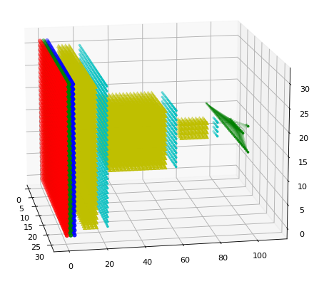
A ultra-lightweight 3D renderer of the Tensorflow/Keras neural network architectures
A ultra-lightweight 3D renderer of the Tensorflow/Keras neural network architectures
An XLSX spreadsheet renderer for Django REST Framework.
drf-renderer-xlsx provides an XLSX renderer for Django REST Framework. It uses OpenPyXL to create the spreadsheet and returns the data.
Train a deep learning net with OpenStreetMap features and satellite imagery.
DeepOSM Classify roads and features in satellite imagery, by training neural networks with OpenStreetMap (OSM) data. DeepOSM can: Download a chunk of

Location field and widget for Django. It supports Google Maps, OpenStreetMap and Mapbox
django-location-field Let users pick locations using a map widget and store its latitude and longitude. Stable version: django-location-field==2.1.0 D

Displaying objects on maps in the Django views and administration site.
DjangoAdminGeomap library The free, open-source DjangoAdminGeomap library is designed to display objects on the map in the Django views and admin site

Location field and widget for Django. It supports Google Maps, OpenStreetMap and Mapbox
django-location-field Let users pick locations using a map widget and store its latitude and longitude. Stable version: django-location-field==2.1.0 D

prettymaps - A minimal Python library to draw customized maps from OpenStreetMap data.
A small set of Python functions to draw pretty maps from OpenStreetMap data. Based on osmnx, matplotlib and shapely libraries.
goal: render videos on eu4's timeline function
Rendering Videos on the EU4 Time Line This repository contains code to create an eu4-savefile that plays back a video in question.

A crossplatform menu bar application using mpv as DLNA Media Renderer.
Macast Chinese README A menu bar application using mpv as DLNA Media Renderer. Install MacOS || Windows || Debian Download link: Macast release latest

Textual is a TUI (Text User Interface) framework for Python using Rich as a renderer.
Textual is a TUI (Text User Interface) framework for Python using Rich as a renderer. The end goal is to be able to rapidly create rich termin

Rich.tui is a TUI (Text User Interface) framework for Python using Rich as a renderer.
rich.tui Rich.tui is a TUI (Text User Interface) framework for Python using Rich as a renderer. The end goal is to be able to rapidly create rich term
Implementation for Paper "Inverting Generative Adversarial Renderer for Face Reconstruction"
StyleGAR TODO: add arxiv link Implementation of Inverting Generative Adversarial Renderer for Face Reconstruction TODO: for test Currently, some model

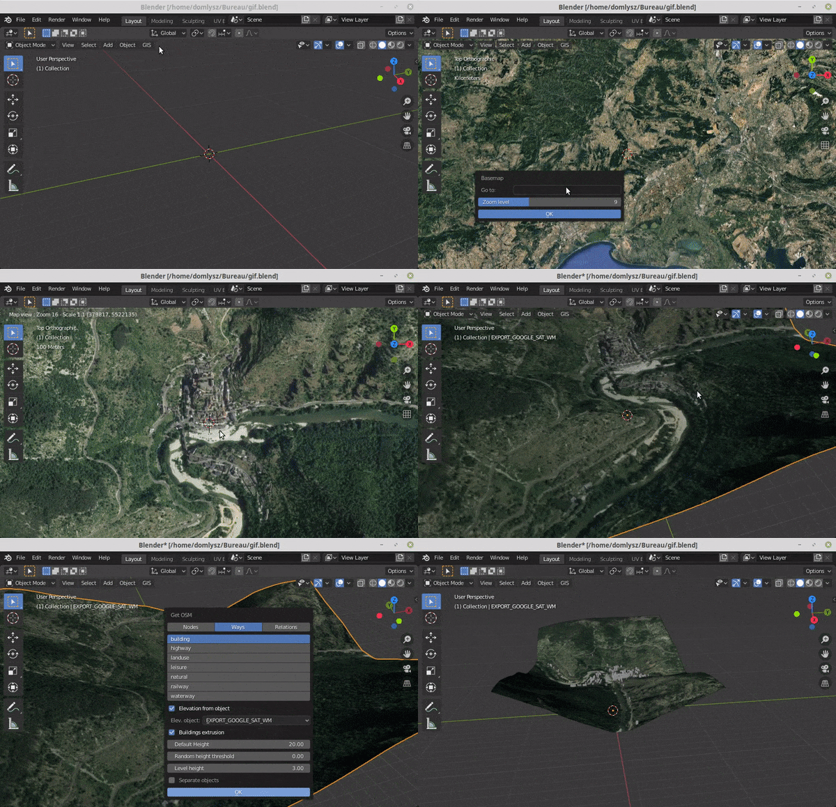
Blender addons to make the bridge between Blender and geographic data
Blender GIS Blender minimal version : 2.8 Mac users warning : currently the addon does not work on Mac with Blender 2.80 to 2.82. Please do not report
Tools for the extraction of OpenStreetMap street network data
OSMnet Tools for the extraction of OpenStreetMap (OSM) street network data. Intended to be used in tandem with Pandana and UrbanAccess libraries to ex
OSMnx: Python for street networks. Retrieve, model, analyze, and visualize street networks and other spatial data from OpenStreetMap.
OSMnx OSMnx is a Python package that lets you download geospatial data from OpenStreetMap and model, project, visualize, and analyze real-world street

Style-based Point Generator with Adversarial Rendering for Point Cloud Completion (CVPR 2021)
Style-based Point Generator with Adversarial Rendering for Point Cloud Completion (CVPR 2021) An efficient PyTorch library for Point Cloud Completion.
uMap lets you create maps with OpenStreetMap layers in a minute and embed them in your site.
uMap project About uMap lets you create maps with OpenStreetMap layers in a minute and embed them in your site. Because we think that the more OSM wil